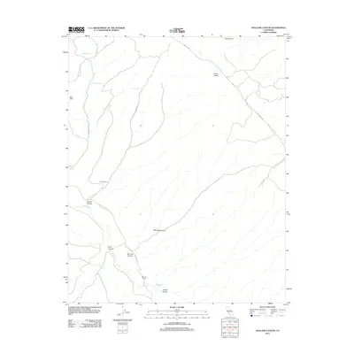
2012 Map of Holland Canyon
USGS Topo · Published 2012About this map
San Juan Ranch and Iverson Ranch sit at the center of this drainage-carved landscape in Kern County, where the dry topography is defined by a network of seasonal water sources and canyons. The map tracks the passage of San Juan Cr as it winds south toward San Luis Canyon, a region where ranching life is supported by critical water points like Pear Tree Spring, Williamson Spring, and the uniquely named Bellyache Spring.
Find a feature on this map
24 named features on this map. Tap any name to fly to it.
Don’t see what you’re looking for? This feature index may not catch every label — zoom into the map to look around manually.
Map Details
Editions of this 2012 Holland Canyon Map
This is the sole edition of this map. No revisions or reprints were ever made.
Other maps of this area

1914 · Cholame
USGS Topo · 1:125,000

1915 · Cholame
USGS Topo · 1:125,000

1917 · Cholame
USGS Topo · 1:125,000

1922 · Pozo
USGS Topo · 1:62,500

1932 · La Panza
USGS Topo · 1:48,000

1935 · La Panza
USGS Topo · 1:62,500

1936 · La Panza
USGS Topo · 1:62,500

1943 · Packwood
USGS Topo · 1:31,680

1943 · Grant Lake
USGS Topo · 1:31,680

1943 · Commatti Canyon
USGS Topo · 1:31,680