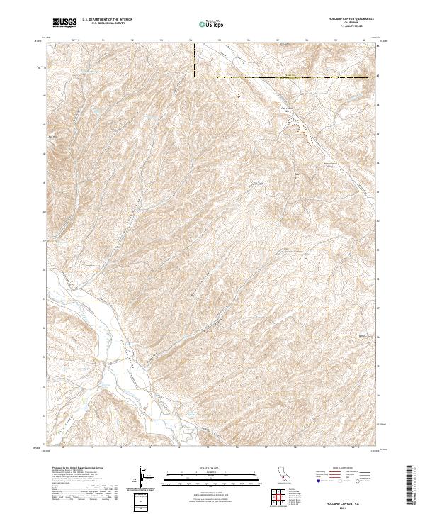
2021 Map of Holland Canyon
USGS Topo · Published 2021About this map
The Temblor Range rise along the eastern edge of this landscape, framing a series of intricate canyons and water sources that have long defined travel and life along the Kern and San Luis Obispo county line. Numerous water points, including Hughes Spring, Tunnel Spring, Pear Tree Spring, and Bellcache Spring, indicate the vital role of these sparse water sources in an arid interior environment. The terrain is marked by a network of ranch roads such as Bitterwater Rd and Holland Canyon Rd, which navigate through the Palo Prieto Pass and into the broader San Juan Valley. This 2021 survey illustrates how the drainage patterns of San Juan Cr and Franciscan Cr continue to shape the geography of the Red Hills and Bitterwater Valley, providing a modern view of a region historically defined by cattle ranching and rugged seasonal access.
Find a feature on this map
37 named features on this map. Tap any name to fly to it.
Don’t see what you’re looking for? This feature index may not catch every label — zoom into the map to look around manually.
Map Details
Editions of this 2021 Holland Canyon Map
This is the sole edition of this map. No revisions or reprints were ever made.
Other maps of this area

1914 · Cholame
USGS Topo · 1:125,000

1915 · Cholame
USGS Topo · 1:125,000

1917 · Cholame
USGS Topo · 1:125,000

1922 · Pozo
USGS Topo · 1:62,500

1932 · La Panza
USGS Topo · 1:48,000

1935 · La Panza
USGS Topo · 1:62,500

1936 · La Panza
USGS Topo · 1:62,500

1943 · Packwood
USGS Topo · 1:31,680

1943 · Grant Lake
USGS Topo · 1:31,680

1943 · Commatti Canyon
USGS Topo · 1:31,680