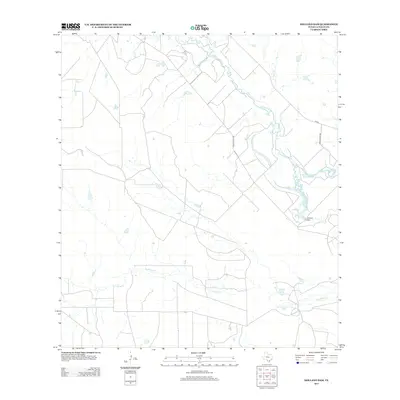
2013 Map of Holland Dam
USGS Topo · Published 2013About this map
The Nueces River meanders across this South Texas landscape, defining a region where water management and ranching infrastructure shape the terrain. At the heart of this area, the Holland Dam and the Holland Reservoir Site Number 2 stand as significant markers of hydraulic engineering, designed to control the flow of the river and its tributaries. The drainage network is further detailed by Altita Cr and the winding course of Las Raices Cr to the south.
Find a feature on this map
7 named features on this map. Tap any name to fly to it.
Don’t see what you’re looking for? This feature index may not catch every label — zoom into the map to look around manually.
Map Details
Editions of this 2013 Holland Dam Map
This is the sole edition of this map. No revisions or reprints were ever made.
Other maps of this area

1927 · Bart
USGS Topo · 1:62,500

1929 · Cotulla
USGS Topo · 1:125,000

1940 · Cotulla
USGS Topo · 1:62,500

1940 · Artesia Wells
USGS Topo · 1:62,500

1953 · Crystal City
USGS Topo · 1:250,000

1955 · Crystal City
USGS Topo · 1:250,000

1957 · Encinal
USGS Topo · 1:62,500

1957 · Caiman Creek
USGS Topo · 1:62,500

1961 · Crystal City
USGS Topo · 1:250,000

1968 · Crystal City
USGS Topo · 1:250,000