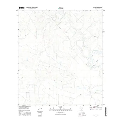
2016 Map of Holland Dam
USGS Topo · Published 2016About this map
The Nueces River meanders through this section of South Texas, defining a landscape marked by water management and ranching infrastructure. Central to the area's development are the Holland Dam and its associated storage areas, Holland Reservoir Site Number 1 and Holland Reservoir Site Number 2. These features, alongside Martin Lake Number 3 and Davis Reservoir, illustrate the critical role of water containment in an arid environment. The map shows a network of local transport including Allerkamp Rd and Albert Martin Rd, which provide access to the various drainage basins like Las Raices Cr and Altita Cr. This survey captures the rural character of the county, where the river's path and planned reservoirs dictate the placement of roads and property boundaries.
Find a feature on this map
13 named features on this map. Tap any name to fly to it.
Don’t see what you’re looking for? This feature index may not catch every label — zoom into the map to look around manually.
Map Details
Editions of this 2016 Holland Dam Map
This is the sole edition of this map. No revisions or reprints were ever made.
Other maps of this area

1927 · Bart
USGS Topo · 1:62,500

1929 · Cotulla
USGS Topo · 1:125,000

1940 · Cotulla
USGS Topo · 1:62,500

1940 · Artesia Wells
USGS Topo · 1:62,500

1953 · Crystal City
USGS Topo · 1:250,000

1955 · Crystal City
USGS Topo · 1:250,000

1957 · Encinal
USGS Topo · 1:62,500

1957 · Caiman Creek
USGS Topo · 1:62,500

1961 · Crystal City
USGS Topo · 1:250,000

1968 · Crystal City
USGS Topo · 1:250,000