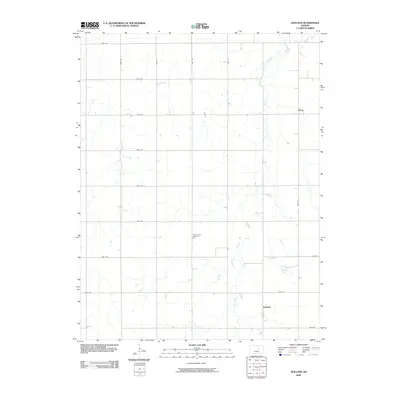
2009 Map of Holland
USGS Topo · Published 2009About this map
Holland Creek meanders through the heart of this Dickinson County landscape, providing the primary geographic anchor for the small rural communities of Holland and Acme. The terrain is defined by a strictly organized grid of agricultural roads, including 1900 Ave and Well Rd, which reflect the enduring section-line layout of the Kansas plains. Centrally located within this surveyed grid is the Green Lawn Cemetery, a significant landmark for those tracing family history in the area. The map illustrates a settled agrarian environment where small clusters of development are spaced between large agricultural tracts, connected by a network of thoroughfares like Fair Rd and Daisy Rd.
Find a feature on this map
19 named features on this map. Tap any name to fly to it.
Don’t see what you’re looking for? This feature index may not catch every label — zoom into the map to look around manually.
Map Details
Editions of this 2009 Holland Map
This is the sole edition of this map. No revisions or reprints were ever made.
Other maps of this area

1889 · Abilene
USGS Topo · 1:125,000

1894 · Abilene
USGS Topo · 1:125,000

1955 · Niles
USGS Topo · 1:24,000

1955 · Kipp
USGS Topo · 1:24,000

1955 · Gypsum
USGS Topo · 1:24,000

1955 · Hutchinson
USGS Topo · 1:250,000

1959 · Hutchinson
USGS Topo · 1:250,000

1963 · Abilene SW
USGS Topo · 1:24,000
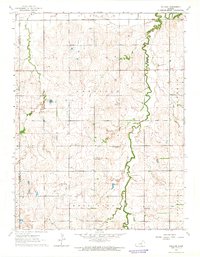
1963 · Holland
USGS Topo · 1:24,000
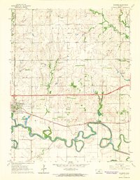
1963 · Solomon
USGS Topo · 1:24,000