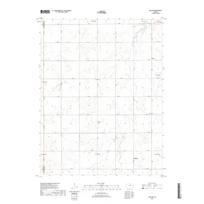
2018 Map of Holland
USGS Topo · Published 2018About this map
Holland and Acme anchor this section of the Kansas plains along the border of Saline and Dickinson Counties. The landscape is defined by the winding course of Holland Cr, which cuts through the agricultural grid established by the Public Land Survey System. This modern topographic study reveals a strictly organized rural infrastructure, where a network of numbered avenues and named roads like Solomon Rd and Fair Rd delineate the township and range lines. For those interested in local genealogy or the history of rural communities, the map identifies significant burial sites including Harmony Cem and Green Lawn Cem. These features, alongside the concentration of structures in the namesake settlement of Holland, provide a clear record of the area's continued residential and agricultural development in the early 21st century.
Find a feature on this map
31 named features on this map. Tap any name to fly to it.
Don’t see what you’re looking for? This feature index may not catch every label — zoom into the map to look around manually.
Map Details
Editions of this 2018 Holland Map
This is the sole edition of this map. No revisions or reprints were ever made.
Other maps of this area

1889 · Abilene
USGS Topo · 1:125,000

1894 · Abilene
USGS Topo · 1:125,000

1955 · Niles
USGS Topo · 1:24,000

1955 · Kipp
USGS Topo · 1:24,000

1955 · Gypsum
USGS Topo · 1:24,000

1955 · Hutchinson
USGS Topo · 1:250,000

1959 · Hutchinson
USGS Topo · 1:250,000

1963 · Abilene SW
USGS Topo · 1:24,000
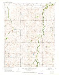
1963 · Holland
USGS Topo · 1:24,000
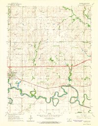
1963 · Solomon
USGS Topo · 1:24,000