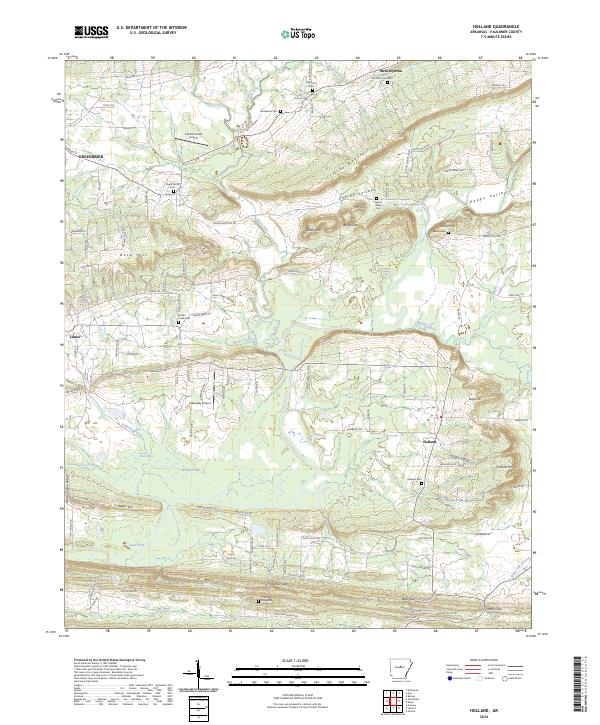
2024 Map of Holland
USGS Topo · Published 2024About this map
Greenbrier and Holland anchor this 2024 landscape in Faulkner County, where the terrain transitions from the elevations of Clinton Mountain and Bayou Mtn into the drainages of Muddy Bayou and Needs Creek. The map reveals a high density of rural burial sites, including Shady Grove Cem, Oakland Cem, and the Acklin Graveyard, which serve as vital markers for family historians tracing early regional lineages. Aviation presence is noted at both Cantrell Farms Airport and Arkavalley Airport, reflecting the area's mix of agricultural and modern transit infrastructure.
Find a feature on this map
151 named features on this map. Tap any name to fly to it.
Don’t see what you’re looking for? This feature index may not catch every label — zoom into the map to look around manually.
Map Details
Editions of this 2024 Holland Map
This is the sole edition of this map. No revisions or reprints were ever made.
Other maps of this area

1956 · Russellville
USGS Topo · 1:250,000
1961 · Conway
USGS Topo · 1:24,000
1961 · Conway
USGS Topo · 1:62,500
1961 · Bee Branch
USGS Topo · 1:62,500
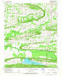
1961 · Greenbrier
USGS Topo · 1:24,000
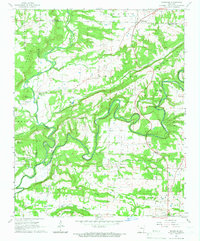
1961 · Damascus
USGS Topo · 1:24,000
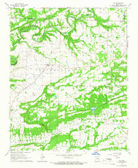
1961 · Guy
USGS Topo · 1:24,000
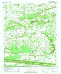
1961 · Holland
USGS Topo · 1:24,000
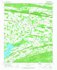
1961 · Hamlet
USGS Topo · 1:24,000
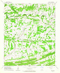
1963 · Enola
USGS Topo · 1:24,000