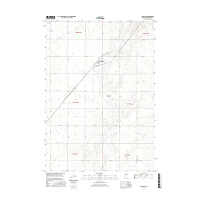
2016 Map of Holland
USGS Topo · Published 2016About this map
Holland serves as the central hub of this Pipestone County landscape, situated where the local rail line and grain elevator structures define the town's small-town character. The surrounding territory is dominated by the geological presence of the Coteau des Prairies, an expansive upland plateau that influences the drainage patterns of the Rock River and its various tributaries, including the E Br Rock River and N Br Pipestone Cr. This survey illustrates the precise grid of the Public Land Survey System, with section lines and county roads like Co Rd 8 and Co Rd 69 dividing the fertile agricultural lands. For genealogists, the map identifies several distinct burial sites across the townships, such as Luctor Cem to the northwest, Holland Cem near the village, and Saint Martins Cem to the southeast, providing exact locations for family research.
Find a feature on this map
28 named features on this map. Tap any name to fly to it.
Don’t see what you’re looking for? This feature index may not catch every label — zoom into the map to look around manually.
Map Details
Editions of this 2016 Holland Map
This is the sole edition of this map. No revisions or reprints were ever made.
Other maps of this area

1953 · Watertown
USGS Topo · 1:250,000

1955 · Sioux Falls
USGS Topo · 1:250,000

1958 · Sioux Falls
USGS Topo · 1:250,000

1958 · Watertown
USGS Topo · 1:250,000

1967 · Pipestone North
USGS Topo · 1:24,000

1967 · Edgerton North
USGS Topo · 1:24,000

1967 · Edgerton NE
USGS Topo · 1:24,000
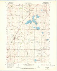
1967 · Ruthton
USGS Topo · 1:24,000

1967 · Ruthton NW
USGS Topo · 1:24,000
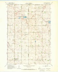
1967 · Woodstock
USGS Topo · 1:24,000