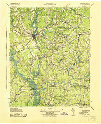
1943 Map of Holland
USGS Topo · Published 1943About this map
The Nottoway River and Blackwater River define the intricate landscape along the Virginia-North Carolina border during the early 1940s. This survey reveals a river-driven economy before modern bridges replaced many historic water crossings. Key maritime landmarks include Smiths Ferry, Manning Ferry, and Cobbs Wharf, which served as critical transit points for timber and agricultural goods.
Find a feature on this map
90 named features on this map. Tap any name to fly to it.
Don’t see what you’re looking for? This feature index may not catch every label — zoom into the map to look around manually.
Map Details
Editions of this 1943 Holland Map
This is the sole edition of this map. No revisions or reprints were ever made.
Other maps of this area
1906 · Beckford
USGS Topo · 1:48,000
1907 · Beckford
USGS Topo · 1:62,500

1908 · Winton
USGS Topo · 1:62,500
1919 · Smithfield
USGS Topo · 1:62,500
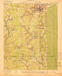
1919 · Suffolk
USGS Topo · 1:62,500
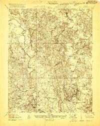
1919 · Homeville
USGS Topo · 1:48,000
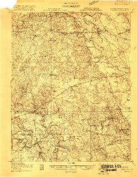
1919 · Boykins
USGS Topo · 1:48,000
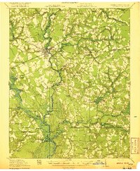
1920 · Holland
USGS Topo · 1:62,500
1920 · Ivor
USGS Topo · 1:62,500
1920 · Homeville
USGS Topo · 1:62,500