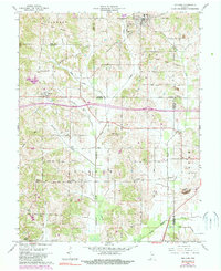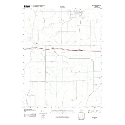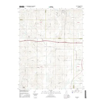
2022 Map of Holland
USGS Topo · Published 2022About this map
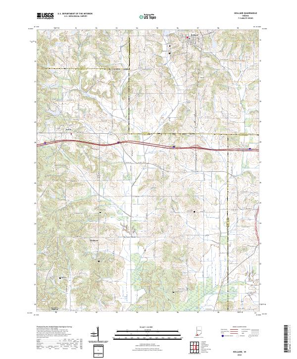
Holland and its surrounding countryside are defined by a network of drainage ditches and small creeks that feed into the Little Pigeon Creek watershed. The landscape is dotted with ancestral burial grounds, including Saint James Cem, Augustana Cem, and Wetherill Cem, providing a detailed record for genealogical research in Dubois and Warrick Counties. Small, scattered settlements such as Selvin, Heilman, and the curiously named Loafers Station serve as anchors for the rural road network. The area’s hydrology is heavily managed by man-made channels like Davis Enlow Ditch and Hutchinson Ditch, which cut through the terrain alongside natural watercourses like Pokeberry Creek and Sugar Creek. These features illustrate the ongoing agricultural and drainage efforts required to utilize the land in this corner of Southern Indiana.
Find a feature on this map
79 named features on this map. Tap any name to fly to it.
Don’t see what you’re looking for? This feature index may not catch every label — zoom into the map to look around manually.
Map Details
Editions of this 2022 Holland Map
This is the sole edition of this map. No revisions or reprints were ever made.
Historical Maps of Dale Through Time
6 maps found