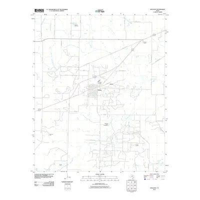
2010 Map of Holliday
USGS Topo · Published 2010About this map
The town of Holliday sits at the heart of this North Texas landscape, where the local economy is visibly shaped by petroleum extraction and water management. Multiple active production areas including the Holliday Oil Field, Daume Oil Field, and Hull-Silk Oil Field are dispersed throughout the territory, marking a long history of energy development in Archer County. To the north, the Netherly Lake Dam and Netherly Lake manage local water resources, feeding into an intricate system of man-made waterways like the Call Field Canal and North Side Canal. These channels cut across the natural drainages of Holliday Creek and Antelope Creek. Beyond the central settlement, the small community of Hartex and the Lucky G Airport serve the surrounding ranchlands, while the Stonewall Jackson Campground indicates the area's recreational use near the creek beds.
Find a feature on this map
50 named features on this map. Tap any name to fly to it.
Don’t see what you’re looking for? This feature index may not catch every label — zoom into the map to look around manually.
Map Details
Editions of this 2010 Holliday Map
This is the sole edition of this map. No revisions or reprints were ever made.
Other maps of this area

1916 · Iowa Park
USGS Topo · 1:24,000

1916 · Fowlkes
USGS Topo · 1:24,000

1918 · Iowa Park
USGS Topo · 1:31,680

1919 · Fowlkes
USGS Topo · 1:31,680

1931 · Archer City
USGS Topo · 1:62,500

1932 · Dundee
USGS Topo · 1:62,500

1954 · Wichita Falls
USGS Topo · 1:250,000

1956 · Lake Wichita
USGS Topo · 1:24,000

1957 · Wichita Falls West
USGS Topo · 1:24,000

1957 · Wichita Falls West
USGS Topo · 1:62,500