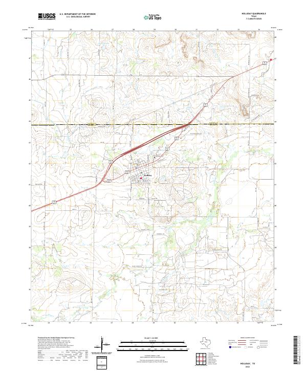
2022 Map of Holliday
USGS Topo · Published 2022About this map
Holliday serves as the central hub of this North Texas landscape, situated along the county line between Wichita Co and Archer Co. The settlement's grid is clearly defined by landmarks such as Holliday Cem and the branching streets of N Main St and S College Ave. This 2022 survey captures a rural environment heavily influenced by water management and drainage infrastructure, essential for the region's agricultural and industrial utility.
Find a feature on this map
65 named features on this map. Tap any name to fly to it.
Don’t see what you’re looking for? This feature index may not catch every label — zoom into the map to look around manually.
Map Details
Editions of this 2022 Holliday Map
This is the sole edition of this map. No revisions or reprints were ever made.
Other maps of this area

1916 · Iowa Park
USGS Topo · 1:24,000

1916 · Fowlkes
USGS Topo · 1:24,000

1918 · Iowa Park
USGS Topo · 1:31,680

1919 · Fowlkes
USGS Topo · 1:31,680

1931 · Archer City
USGS Topo · 1:62,500

1932 · Dundee
USGS Topo · 1:62,500

1954 · Wichita Falls
USGS Topo · 1:250,000

1956 · Lake Wichita
USGS Topo · 1:24,000

1957 · Wichita Falls West
USGS Topo · 1:24,000

1957 · Wichita Falls West
USGS Topo · 1:62,500