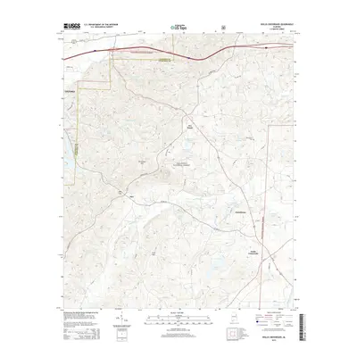
2014 Map of Hollis Crossroads
USGS Topo · Published 2014About this map
The high ridges of Horseblock Mtn and Ivory Mtn dominate this portion of the Talladega National Forest, where the border of Calhoun and Cleburne counties meets. The landscape is defined by the steep transition from these peaks down to the winding Chulafinnee Cr and Hillabee Cr watersheds. Several small, established communities are situated along the lower elevations and road junctions, including Five Points, Abel, and the historic crossroads of Chulafinnee.
Find a feature on this map
54 named features on this map. Tap any name to fly to it.
Don’t see what you’re looking for? This feature index may not catch every label — zoom into the map to look around manually.
Map Details
Editions of this 2014 Hollis Crossroads Map
This is the sole edition of this map. No revisions or reprints were ever made.
Other maps of this area

1891 · Ashland
USGS Topo · 1:125,000

1900 · Anniston
USGS Topo · 1:125,000

1947 · Oxford
USGS Topo · 1:24,000

1947 · Anniston
USGS Topo · 1:24,000

1950 · Anniston
USGS Topo · 1:62,500

1953 · Atlanta
USGS Topo · 1:250,000

1954 · Choccolocco
USGS Topo · 1:24,000

1956 · Oxford
USGS Topo · 1:24,000

1956 · Anniston
USGS Topo · 1:24,000

1957 · Atlanta
USGS Topo · 1:250,000