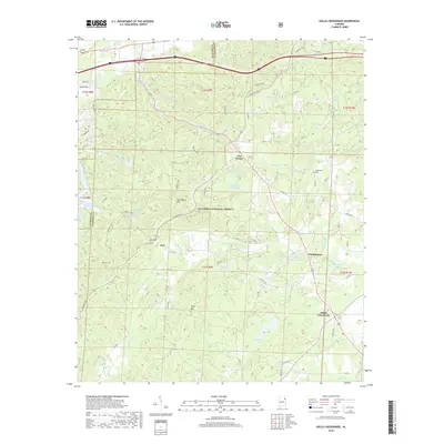
2018 Map of Hollis Crossroads
USGS Topo · Published 2018About this map
The southern reaches of the Talladega National Forest dominate this section of the Alabama landscape, where the ridges of Horseblock Mtn and Ivory Mtn rise above the surrounding valleys. Long-standing rural communities such as Chulafinnee and Five Points serve as local hubs for a network of country roads, while Hollis Crossroads marks a key intersection in the southeastern portion of the quadrangle. The terrain is defined by its numerous small drainages, including Chulafinnee Cr and Carr Cr, which flow toward larger bodies of water like Creighton Number 2 Lake and Abel Lake. For those interested in the cultural history of the area, the presence of the Bethlehem Cem near Snake Cr and the winding path of the Pinhoti NRT trail provide clear evidence of both settled community life and the extensive public lands that preserve this segment of Cleburne and Calhoun counties.
Find a feature on this map
59 named features on this map. Tap any name to fly to it.
Don’t see what you’re looking for? This feature index may not catch every label — zoom into the map to look around manually.
Map Details
Editions of this 2018 Hollis Crossroads Map
This is the sole edition of this map. No revisions or reprints were ever made.
Other maps of this area

1891 · Ashland
USGS Topo · 1:125,000

1900 · Anniston
USGS Topo · 1:125,000

1947 · Oxford
USGS Topo · 1:24,000

1947 · Anniston
USGS Topo · 1:24,000

1950 · Anniston
USGS Topo · 1:62,500

1953 · Atlanta
USGS Topo · 1:250,000

1954 · Choccolocco
USGS Topo · 1:24,000

1956 · Oxford
USGS Topo · 1:24,000

1956 · Anniston
USGS Topo · 1:24,000

1957 · Atlanta
USGS Topo · 1:250,000