
1921 Map of Hollister
USGS Topo · Published 1921About this map
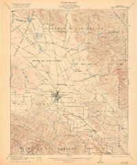
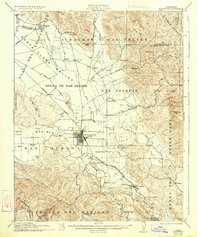
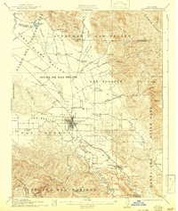
Hollister serves as the hub of this fertile agricultural landscape in the late 1910s, situated where the San Benito Valley meets the San Justo Valley. The map reveals a highly developed network of rural education, with numerous local institutions like Enterprise School, San Justo School, and Ausaymas School serving the farming families of the Bolsa de San Felipe. The Southern Pacific railroad line anchors the local economy, connecting the orchards and fields to larger markets via Tres Pinos and Dunneville.
Find a feature on this map
58 named features on this map. Tap any name to fly to it.
Don’t see what you’re looking for? This feature index may not catch every label — zoom into the map to look around manually.
Map Details
Editions of this 1921 Hollister Map
4 editions found
Other maps of this area

1910 · Salinas
USGS Topo · 1:31,680

1912 · Salinas
USGS Topo · 1:62,500

1915 · San Juan Bautista
USGS Topo · 1:48,000

1917 · Morgan Hill
USGS Topo · 1:62,500

1917 · San Juan Bautista
USGS Topo · 1:62,500

1919 · San Benito
USGS Topo · 1:62,500

1919 · Hollister
USGS Topo · 1:48,000

1920 · Pacheco Pass
USGS Topo · 1:62,500

1921 · Gonzales
USGS Topo · 1:62,500

1921 · Gilroy Hot Springs
USGS Topo · 1:62,500