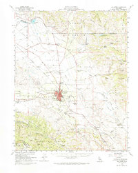
1955 Map of Hollister
USGS Topo · Published 1968About this map
Hollister serves as the central hub of this mid-century survey, anchoring a landscape where agricultural valley floors meet the rising slopes of the Gabilan Range. The town's layout is dense with civic and educational landmarks, including the San Benito Co HS & Jr Coll, Veterans Memorial Park, and the Calvary Cem. Beyond the city limits, the map reveals a decentralized network of rural schools and family-named homesteads such as Garcia Ranch and Sparling Ranch, reflecting a well-established ranching and farming economy. To the north, the Bolsa de San Felipe and San Felipe Lake mark the drainage of the Pacheco Creek watershed.
Find a feature on this map
91 named features on this map. Tap any name to fly to it.
Don’t see what you’re looking for? This feature index may not catch every label — zoom into the map to look around manually.
Map Details
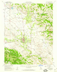
Editions of this 1955 Hollister Map
2 editions found
Other maps of this area

1910 · Salinas
USGS Topo · 1:31,680

1912 · Salinas
USGS Topo · 1:62,500

1915 · San Juan Bautista
USGS Topo · 1:48,000

1917 · Morgan Hill
USGS Topo · 1:62,500

1917 · San Juan Bautista
USGS Topo · 1:62,500

1919 · San Benito
USGS Topo · 1:62,500

1919 · Hollister
USGS Topo · 1:48,000

1920 · Pacheco Pass
USGS Topo · 1:62,500

1921 · Gonzales
USGS Topo · 1:62,500

1921 · Gilroy Hot Springs
USGS Topo · 1:62,500