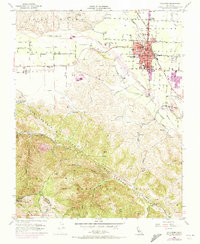
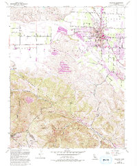
1955 Map of Hollister
USGS Topo · Published 1973About this map
Hollister is the primary urban center shown in this mid-century study, situated at the edge of the San Benito Valley. The town's grid is anchored by civic landmarks including the Courthouse, City Hall, and the San Benito County HS and Jr College. Beyond the residential streets, the landscape is defined by the San Benito River and the unmistakable northwest-southeast orientation of the San Andreas Rift Zone.
Find a feature on this map
47 named features on this map. Tap any name to fly to it.
Don’t see what you’re looking for? This feature index may not catch every label — zoom into the map to look around manually.
Map Details
Editions of this 1955 Hollister Map
5 editions found
Other maps of this area

1910 · Salinas
USGS Topo · 1:31,680

1912 · Salinas
USGS Topo · 1:62,500

1915 · San Juan Bautista
USGS Topo · 1:48,000

1917 · San Juan Bautista
USGS Topo · 1:62,500

1919 · Hollister
USGS Topo · 1:48,000

1921 · Gonzales
USGS Topo · 1:62,500

1921 · Hollister
USGS Topo · 1:62,500

1923 · Hollister
USGS Topo · 1:62,500

1939 · San Juan Bautista
USGS Topo · 1:62,500

1940 · San Juan Bautista
USGS Topo · 1:62,500