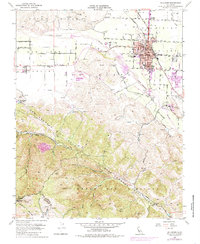
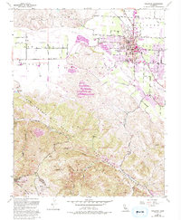
1955 Map of Hollister
USGS Topo · Published 1985About this map
Hollister anchors this mid-century survey, showcasing a growing agricultural and civic hub at the intersection of the Southern Pacific railroad and the San Benito River. The landscape is sharply defined by the San Andreas Rift Zone, which carves a distinct northwest-southeast path across the quadrangle, separating the Hollister Valley from the rising peaks of the Gabilan Range.
Find a feature on this map
49 named features on this map. Tap any name to fly to it.
Don’t see what you’re looking for? This feature index may not catch every label — zoom into the map to look around manually.
Map Details
Editions of this 1955 Hollister Map
5 editions found
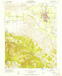
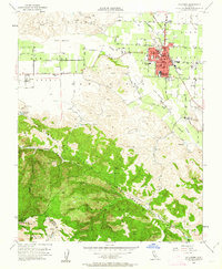
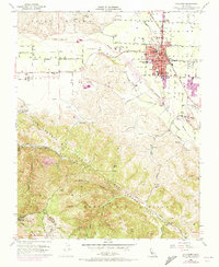
Other maps of this area

1910 · Salinas
USGS Topo · 1:31,680

1912 · Salinas
USGS Topo · 1:62,500

1915 · San Juan Bautista
USGS Topo · 1:48,000

1917 · San Juan Bautista
USGS Topo · 1:62,500

1919 · Hollister
USGS Topo · 1:48,000

1921 · Gonzales
USGS Topo · 1:62,500

1921 · Hollister
USGS Topo · 1:62,500

1923 · Hollister
USGS Topo · 1:62,500

1939 · San Juan Bautista
USGS Topo · 1:62,500

1940 · San Juan Bautista
USGS Topo · 1:62,500