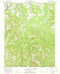
1956 Map of Hollister
USGS Topo · Published 1978About this map
White River Lake Taneycomo anchors the northwest corner of this Missouri-Arkansas borderland, where the School of the Ozarks overlooks the water. The landscape is defined by the deep dissection of the Ozark Plateau, with Turkey Creek and Coon Creek carving through the terrain near the Missouri Pacific railroad line. Small community hubs like Hollister and Kirbyville serve as primary settlements, while rural life is marked by the presence of Ridgedale Ch, Oneness Ch, and the Pine Top Sch.
Find a feature on this map
32 named features on this map. Tap any name to fly to it.
Don’t see what you’re looking for? This feature index may not catch every label — zoom into the map to look around manually.
Map Details
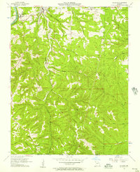
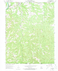
Editions of this 1956 Hollister Map
3 editions found
Other maps of this area

1904 · Harrison
USGS Topo · 1:125,000

1905 · Harrison
USGS Topo · 1:125,000

1907 · Forsyth
USGS Topo · 1:125,000

1945 · Harrison
USGS Topo · 1:250,000

1949 · Harrison
USGS Topo · 1:250,000

1950 · Garber
USGS Topo · 1:24,000

1954 · Harrison
USGS Topo · 1:250,000

1956 · Table Rock Dam
USGS Topo · 1:24,000

1956 · Garber
USGS Topo · 1:24,000
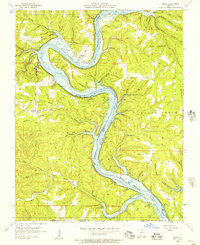
1956 · Mincy
USGS Topo · 1:24,000