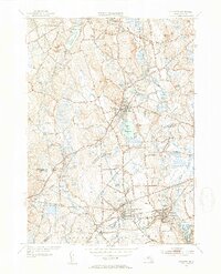
1953 Map of Holliston
USGS Topo · Published 1954About this map
The Charles River defines the southern boundary of this region, winding past West Medway and Medway Village during a period of established industrial and residential growth. This 1953 revision reveals a landscape transitional between its agrarian roots and mid-century suburbanization, anchored by the town of Holliston. The transportation network is remarkably dense, featuring the Boston and Albany RR and the New York New Haven and Hartford RR, which served local hubs like Braggville Sta.
Find a feature on this map
78 named features on this map. Tap any name to fly to it.
Don’t see what you’re looking for? This feature index may not catch every label — zoom into the map to look around manually.
Map Details
Editions of this 1953 Holliston Map
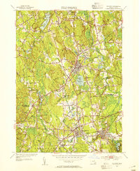
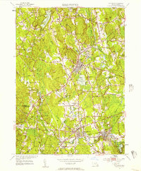
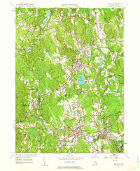
4 editions found
Other maps of this area

1886 · Blackstone
USGS Topo · 1:62,500

1886 · Framingham
USGS Topo · 1:62,500

1887 · Franklin
USGS Topo · 1:62,500

1887 · Marlboro
USGS Topo · 1:62,500

1889 · Marlboro
USGS Topo · 1:62,500

1889 · Blackstone
USGS Topo · 1:62,500

1889 · Franklin
USGS Topo · 1:62,500

1889 · Framingham
USGS Topo · 1:62,500

1893 · Franklin
USGS Topo · 1:62,500

1893 · Blackstone
USGS Topo · 1:62,500