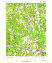
1953 Map of Holliston
USGS Topo · Published 1963About this map
Holliston and West Medway serve as the primary hubs in this mid-century survey of the Charles River headwaters. The landscape is characterized by a dense network of glacial hills, including Mt Hollis, Magunco Hill, and Strawberry Hill, interspersed with wetlands like Kirby Swamp and Cedar Swamp. The industrial and transit legacy of the region is evident in the path of the Boston and Albany RR and the New York New Haven and Hartford RR, which connect settlements like Metcalf and Braggville. Local social history is captured through the presence of numerous specialized summer retreats such as Camp Bob White, Workmans Circle Camp, and Breezy Meadow Camp, reflecting the area's role as a recreational destination for nearby urban centers. Genealogists will find value in the clearly marked Evergreen Cem and St Mary Cem, while the location of the Stone Quarry near Rocky Hill points to the local extractive economy of the era.
Find a feature on this map
92 named features on this map. Tap any name to fly to it.
Don’t see what you’re looking for? This feature index may not catch every label — zoom into the map to look around manually.
Map Details
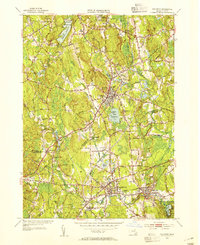
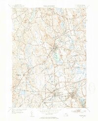
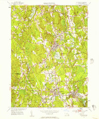
Editions of this 1953 Holliston Map
4 editions found
Other maps of this area

1886 · Blackstone
USGS Topo · 1:62,500

1886 · Framingham
USGS Topo · 1:62,500

1887 · Franklin
USGS Topo · 1:62,500

1887 · Marlboro
USGS Topo · 1:62,500

1889 · Marlboro
USGS Topo · 1:62,500

1889 · Blackstone
USGS Topo · 1:62,500

1889 · Franklin
USGS Topo · 1:62,500

1889 · Framingham
USGS Topo · 1:62,500

1893 · Franklin
USGS Topo · 1:62,500

1893 · Blackstone
USGS Topo · 1:62,500