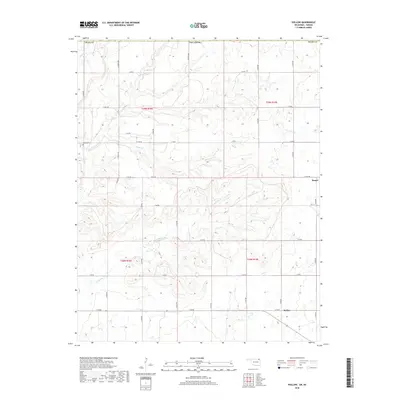
2018 Map of Hollow
USGS Topo · Published 2018About this map
The settlement of Hollow sits near the eastern edge of Craig County, marking a landscape defined by the drainage basins of Big Cabin Cr and Clear Cr. This rural Oklahoma territory is characterized by a high density of local roadways, such as S 4330 RD, which follow the section lines of the Public Land Survey System typical of the region's agricultural layout. North of the primary settlement, the small community of Banzet is positioned near the northeastern corner of the map, while Petitt Cem provides a specific point of interest for genealogical research in the western portion of the quadrangle. The terrain is intricately carved by several waterways, including Boggs Br and Brush Cr, illustrating the persistent water network that supported early ranching and farming operations across these townships.
Find a feature on this map
38 named features on this map. Tap any name to fly to it.
Don’t see what you’re looking for? This feature index may not catch every label — zoom into the map to look around manually.
Map Details
Editions of this 2018 Hollow Map
This is the sole edition of this map. No revisions or reprints were ever made.
Other maps of this area
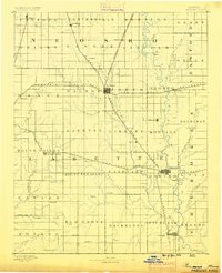
1886 · Parsons
USGS Topo · 1:125,000
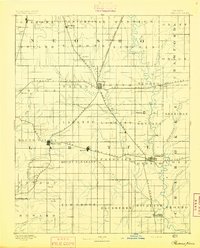
1893 · Parsons
USGS Topo · 1:125,000
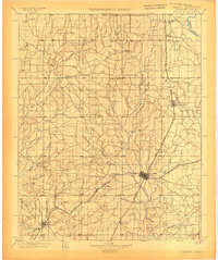
1901 · Vinita
USGS Topo · 1:125,000
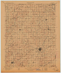
1913 · Vinita
USGS Topo · 1:125,000
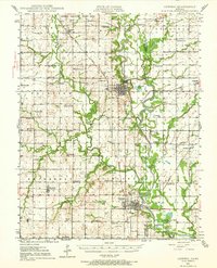
1944 · Oswego
USGS Topo · 1:62,500
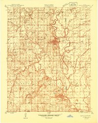
1946 · Oswego
USGS Topo · 1:48,000
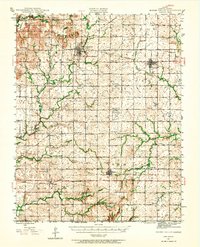
1946 · Mound Valley
USGS Topo · 1:62,500
1947 · Joplin
USGS Topo · 1:250,000
1948 · Oswego
USGS Topo · 1:62,500
1948 · Mound Valley
USGS Topo · 1:62,500