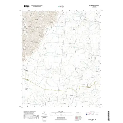
2019 Map of Hollow Springs
USGS Topo · Published 2019About this map
Pocahontas and Ivy Bluff anchor this rural landscape along the border of Cannon and Coffee counties, where the high ground of the Tennessee Valley Divide dictates the local hydrology. The area is defined by its deep hollows and high ridges, including Sinkhole Ridge and Rains Ridge, which separate the various drainages such as Carson Fork and McMahan Creek. This terrain shaped the early settlement patterns, concentrating community life around local water sources like Buck Spring and Cisco Spring.
Find a feature on this map
140 named features on this map. Tap any name to fly to it.
Don’t see what you’re looking for? This feature index may not catch every label — zoom into the map to look around manually.
Map Details
Editions of this 2019 Hollow Springs Map
This is the sole edition of this map. No revisions or reprints were ever made.
Other maps of this area

1893 · Mc Minnville
USGS Topo · 1:125,000

1895 · Mc Minnville
USGS Topo · 1:125,000

1908 · Woodbury
USGS Topo · 1:62,500

1913 · Hollow Springs
USGS Topo · 1:62,500

1936 · Fredonia
USGS Topo · 1:24,000

1936 · Beech Grove
USGS Topo · 1:24,000

1936 · Petty Gap
USGS Topo · 1:24,000

1936 · Noah
USGS Topo · 1:24,000

1936 · Morrison
USGS Topo · 1:24,000

1942 · Statesville
USGS Topo · 1:100,000