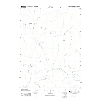
2011 Map of Holloway Meadows
USGS Topo · Published 2011About this map
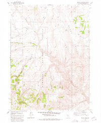
Holloway Meadows and the high ridges of the Santa Rosa Range dominate this remote northern Nevada landscape. The map details a transition between high-altitude pasture land and complex river drainages, specifically where the South Fork Quinn River and East Fork Quinn River headwaters emerge. The terrain is marked by prominent geological features like Table Mountain and Staunton Ridge, which overlook a network of seasonal and perennial waters. Isolated human presence is noted at Siard Cabin, situated near the confluence of Siard Creek and Martin Creek. This 2011 survey serves as a vital record of the grazing lands and water sources in Humboldt County, documenting naming conventions for local landmarks such as Squaw Tit Butte and Groundhog Meadows. The vast road network, including numerous numbered routes, highlights the area's importance for range management and outdoor access.
Find a feature on this map
43 named features on this map. Tap any name to fly to it.
Don’t see what you’re looking for? This feature index may not catch every label — zoom into the map to look around manually.
Map Details
Editions of this 2011 Holloway Meadows Map
This is the sole edition of this map. No revisions or reprints were ever made.
Other maps of this area
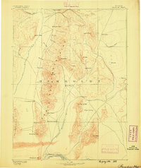
1882 · Paradise
USGS Topo · 1:250,000
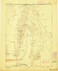
1893 · Paradise
USGS Topo · 1:250,000

1955 · McDermitt
USGS Topo · 1:250,000

1959 · McDermitt
USGS Topo · 1:250,000
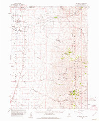
1959 · McDermitt
USGS Topo · 1:62,500
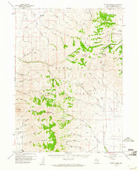
1959 · Hinkey Summit
USGS Topo · 1:62,500
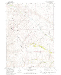
1980 · Odell Mountain
USGS Topo · 1:24,000
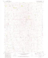
1980 · Capitol Peak
USGS Topo · 1:24,000
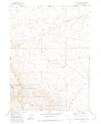
1980 · Mahogany Spring
USGS Topo · 1:24,000
1980 · Black Ridge
USGS Topo · 1:24,000