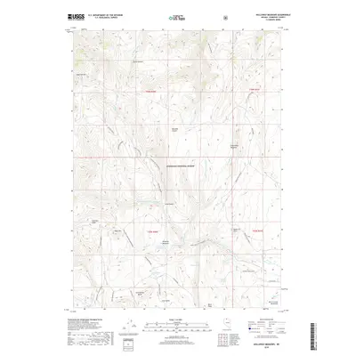
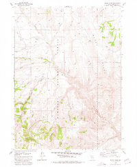
2018 Map of Holloway Meadows
USGS Topo · Published 2018About this map
Holloway Meadows and Quinn Pasture sit within a high-elevation drainage system in Humboldt National Forest, where the headwaters of the S Fork Quinn River and E Fork Quinn River converge. The landscape is defined by massive formations such as Eightmile Mtn and the Martin Creek Mountains, interspersed with seasonal springs like Potato Patch Spring and Bernard Spring. This 2018 survey documents a complex network of forest access routes, including the New Motortrail and Holloway Meadows Motortrail, which navigate the steep transition from Long Valley to Table Mtn. These trails and spurs, such as Five Mile Spur A, provide essential access for land management and recreation throughout the Klondike Canyon and Long Canyon areas, where names like Groundhog Meadows suggest a long history of seasonal grazing and wildlife activity in this part of Humboldt County.
Find a feature on this map
46 named features on this map. Tap any name to fly to it.
Don’t see what you’re looking for? This feature index may not catch every label — zoom into the map to look around manually.
Map Details
Editions of this 2018 Holloway Meadows Map
This is the sole edition of this map. No revisions or reprints were ever made.
Other maps of this area
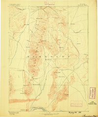
1882 · Paradise
USGS Topo · 1:250,000
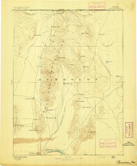
1893 · Paradise
USGS Topo · 1:250,000

1955 · McDermitt
USGS Topo · 1:250,000

1959 · McDermitt
USGS Topo · 1:250,000
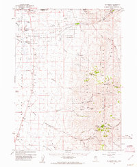
1959 · McDermitt
USGS Topo · 1:62,500
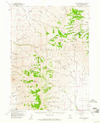
1959 · Hinkey Summit
USGS Topo · 1:62,500
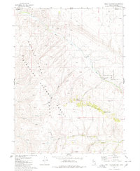
1980 · Odell Mountain
USGS Topo · 1:24,000
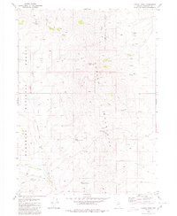
1980 · Capitol Peak
USGS Topo · 1:24,000
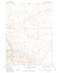
1980 · Mahogany Spring
USGS Topo · 1:24,000
1980 · Black Ridge
USGS Topo · 1:24,000