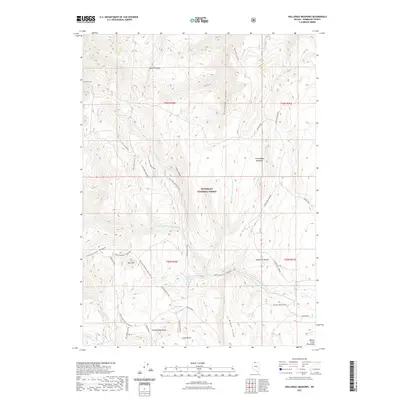
2021 Map of Holloway Meadows
USGS Topo · Published 2021About this map
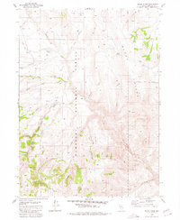
Humboldt National Forest spans this high-elevation basin in Northern Nevada, where a network of seasonal drainages and springs defines the remote landscape. The terrain is structured by prominent ridges and peaks, notably Table Mtn and Eightmile Mtn, which overlook the expansive Long Valley. This area is characterized by its vital water sources, including Cold Springs, Benard Spring, and Chicken Spring, which likely supported local ranching and transit through the high country.
Find a feature on this map
46 named features on this map. Tap any name to fly to it.
Don’t see what you’re looking for? This feature index may not catch every label — zoom into the map to look around manually.
Map Details
Editions of this 2021 Holloway Meadows Map
This is the sole edition of this map. No revisions or reprints were ever made.
Other maps of this area
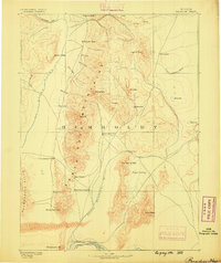
1882 · Paradise
USGS Topo · 1:250,000
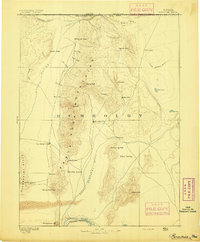
1893 · Paradise
USGS Topo · 1:250,000

1955 · McDermitt
USGS Topo · 1:250,000

1959 · McDermitt
USGS Topo · 1:250,000
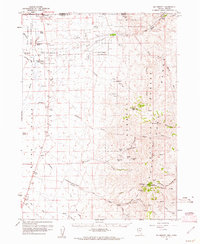
1959 · McDermitt
USGS Topo · 1:62,500
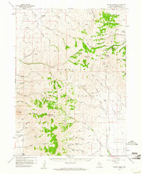
1959 · Hinkey Summit
USGS Topo · 1:62,500
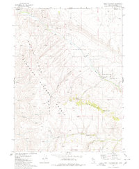
1980 · Odell Mountain
USGS Topo · 1:24,000
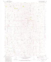
1980 · Capitol Peak
USGS Topo · 1:24,000
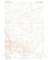
1980 · Mahogany Spring
USGS Topo · 1:24,000
1980 · Black Ridge
USGS Topo · 1:24,000