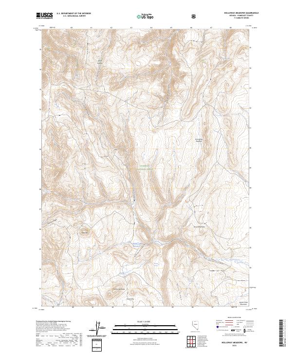
2023 Map of Holloway Meadows
USGS Topo · Published 2023About this map
Humboldt National Forest encompasses this high-elevation landscape in northern Nevada, characterized by a series of north-south running ridges and canyons. The North Fork Little Humboldt river winds through the central terrain, fed by remote water sources such as Meadow Spring, Chicken Spring, and Cold Springs. The map reveals a land utilized for grazing and transit, with Quinn Pasture and Groundhog Meadows providing open space amidst the steeper grades of Staunton Ridge and Black Ridge. Prominent peaks like Table Mtn, Groundhog Butte, and Cold Springs Butte serve as significant landmarks for those navigating the backcountry. Human activity is evidenced by the New-Motortrail Trl, a route that connects the upper elevations to Long Valley and the surrounding drainage basins.
Find a feature on this map
25 named features on this map. Tap any name to fly to it.
Don’t see what you’re looking for? This feature index may not catch every label — zoom into the map to look around manually.
Map Details
Editions of this 2023 Holloway Meadows Map
This is the sole edition of this map. No revisions or reprints were ever made.
Other maps of this area

1882 · Paradise
USGS Topo · 1:250,000

1893 · Paradise
USGS Topo · 1:250,000

1955 · McDermitt
USGS Topo · 1:250,000

1959 · McDermitt
USGS Topo · 1:250,000

1959 · McDermitt
USGS Topo · 1:62,500

1959 · Hinkey Summit
USGS Topo · 1:62,500

1980 · Odell Mountain
USGS Topo · 1:24,000

1980 · Capitol Peak
USGS Topo · 1:24,000

1980 · Mahogany Spring
USGS Topo · 1:24,000

1980 · Black Ridge
USGS Topo · 1:24,000