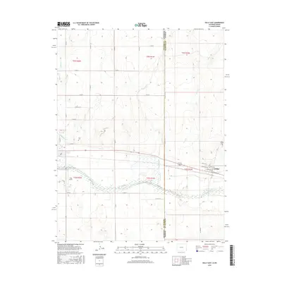
2016 Map of Holly East
USGS Topo · Published 2016About this map
The Arkansas River divides this borderland landscape, where the agricultural plains of eastern Colorado meet western Kansas. The settlement of Holly serves as a primary hub on the western edge, supported by the Buffalo Canal and the nearby Holly Airport. Following the river corridor eastward across the Prowers Co Hamilton Co line, the terrain transitions into the small community of Coolidge in Kansas. The map documents a sophisticated irrigation and water management system essential for high-plains life, featuring numerous named waterways like Cheyenne Creek and Spring Cr. Local history and genealogy are preserved through the identification of the Holly Cem and Coolidge Cem, while the grid of rural roads, including Santa Fe Rd and Co Rd HH, illustrates the enduring structure of the region's land divisions.
Find a feature on this map
44 named features on this map. Tap any name to fly to it.
Don’t see what you’re looking for? This feature index may not catch every label — zoom into the map to look around manually.
Map Details
Editions of this 2016 Holly East Map
This is the sole edition of this map. No revisions or reprints were ever made.
Other maps of this area

1890 · Granada
USGS Topo · 1:125,000

1891 · Albany
USGS Topo · 1:125,000

1892 · Granada
USGS Topo · 1:125,000

1893 · Albany
USGS Topo · 1:125,000

1894 · Granada
USGS Topo · 1:125,000

1900 · Syracuse
USGS Topo · 1:125,000

1920 · Syracuse
USGS Topo · 1:125,000

1953 · Holly West
USGS Topo · 1:24,000

1953 · Holly East
USGS Topo · 1:24,000

1954 · Lamar
USGS Topo · 1:250,000