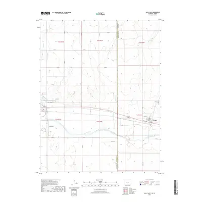
2019 Map of Holly East
USGS Topo · Published 2019About this map
The Arkansas River flows eastward across this High Plains landscape, marking the historic corridor between Holly, Colorado, and Coolidge, Kansas. This 2019 survey captures the border region where the Prowers and Hamilton county lines intersect, illustrating a terrain defined by agricultural irrigation and drainage systems like the Buffalo Canal and Cheyenne Creek. The town of Holly serves as a local hub, featuring the Holly Airport and the Justin Harrington Memorial Walkway Trail, which winds through the western portion of the map. Genealogists will find the locations of both the Holly Cem and Coolidge Cem clearly marked on their respective sides of the state line. The map's grid of county roads, including Co RD 35 and Co RD JJ, highlights the geometric precision of the western ranching and farming divisions that have shaped this borderland since the era of settlement.
Find a feature on this map
45 named features on this map. Tap any name to fly to it.
Don’t see what you’re looking for? This feature index may not catch every label — zoom into the map to look around manually.
Map Details
Editions of this 2019 Holly East Map
This is the sole edition of this map. No revisions or reprints were ever made.
Other maps of this area

1890 · Granada
USGS Topo · 1:125,000

1891 · Albany
USGS Topo · 1:125,000

1892 · Granada
USGS Topo · 1:125,000

1893 · Albany
USGS Topo · 1:125,000

1894 · Granada
USGS Topo · 1:125,000

1900 · Syracuse
USGS Topo · 1:125,000

1920 · Syracuse
USGS Topo · 1:125,000

1953 · Holly West
USGS Topo · 1:24,000

1953 · Holly East
USGS Topo · 1:24,000

1954 · Lamar
USGS Topo · 1:250,000