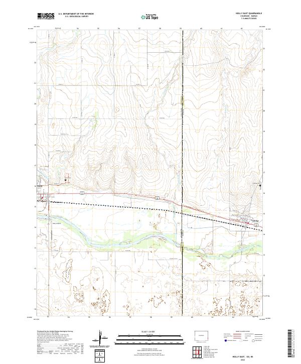
2022 Map of Holly East
USGS Topo · Published 2022About this map
The Arkansas River forms the central geographic artery of this High Plains landscape, marking a vital water source at the border of Colorado and Kansas. The settlement of Holly serves as a primary hub on the western side, while Coolidge sits just across the state line to the east. This area is characterized by an extensive network of irrigation and drainage features, such as the Buffalo Canal and Cheyenne Creek, which support the region's agricultural character. Local heritage is preserved at sites like the Holly Cem and Coolidge Cem, providing specific points of interest for genealogists tracing families in Prowers and Hamilton counties. Transportation and recreation are represented by the Holly Airport and the Justin Harrington Memorial Walkway Trl, reflecting the contemporary development of these two neighboring plains communities.
Find a feature on this map
49 named features on this map. Tap any name to fly to it.
Don’t see what you’re looking for? This feature index may not catch every label — zoom into the map to look around manually.
Map Details
Editions of this 2022 Holly East Map
This is the sole edition of this map. No revisions or reprints were ever made.
Other maps of this area

1890 · Granada
USGS Topo · 1:125,000

1891 · Albany
USGS Topo · 1:125,000

1892 · Granada
USGS Topo · 1:125,000

1893 · Albany
USGS Topo · 1:125,000

1894 · Granada
USGS Topo · 1:125,000

1900 · Syracuse
USGS Topo · 1:125,000

1920 · Syracuse
USGS Topo · 1:125,000

1953 · Holly West
USGS Topo · 1:24,000

1953 · Holly East
USGS Topo · 1:24,000

1954 · Lamar
USGS Topo · 1:250,000