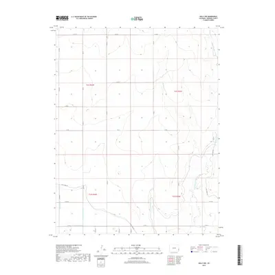
2019 Map of Holly NW
USGS Topo · Published 2019About this map
Agricultural water management and high plains drainage define this corner of Prowers County, where the sophisticated irrigation network of the Amity Canal and its associated branches, such as Chenoweth Lateral and Dober Lateral, crisscross the landscape. These water systems were critical for transforming the arid terrain into productive farmland, often paralleling the township lines of t21s r43w and t21s r42w. The natural topography is marked by several dry-land watercourses, including Wild Horse Creek, West Wild Horse Creek, and Pauls Arroyo, which generally drain toward the southeast.
Find a feature on this map
32 named features on this map. Tap any name to fly to it.
Don’t see what you’re looking for? This feature index may not catch every label — zoom into the map to look around manually.
Map Details
Editions of this 2019 Holly NW Map
This is the sole edition of this map. No revisions or reprints were ever made.
Other maps of this area
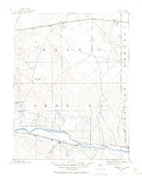
1890 · Granada
USGS Topo · 1:125,000
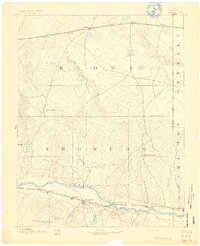
1892 · Granada
USGS Topo · 1:125,000
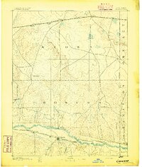
1894 · Granada
USGS Topo · 1:125,000
1953 · Holly West
USGS Topo · 1:24,000
1953 · Granada
USGS Topo · 1:24,000
1953 · Holly East
USGS Topo · 1:24,000

1954 · Lamar
USGS Topo · 1:250,000
1955 · Holly NE
USGS Topo · 1:24,000
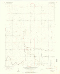
1955 · Granada NE
USGS Topo · 1:24,000
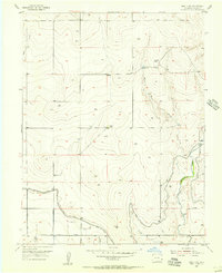
1955 · Holly NW
USGS Topo · 1:24,000