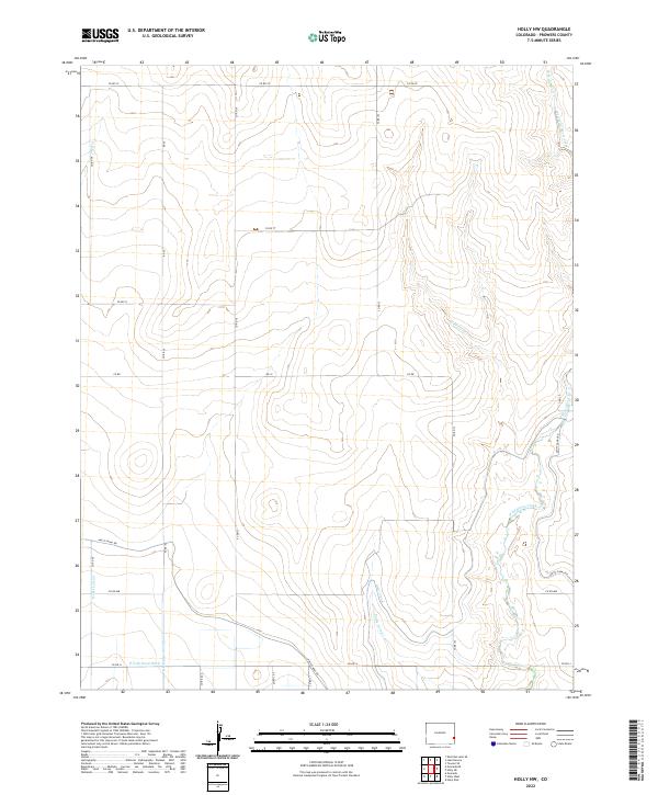
2022 Map of Holly NW
USGS Topo · Published 2022About this map
Amity Canal and its associated Amity Canal Rd define the southern agricultural landscape of this Prowers County territory. This 2022 survey captures a sophisticated network of irrigation infrastructure essential to the High Plains, including the Dober Lateral, Chenoweth Lateral, and the aptly named E Fork Dead Ditch. These man-made watercourses contrast with the natural drainage patterns of Wild Horse Creek and its various tributaries like West Wild Horse Creek and Pauls Arroyo that cut through the open rangeland.
Find a feature on this map
29 named features on this map. Tap any name to fly to it.
Don’t see what you’re looking for? This feature index may not catch every label — zoom into the map to look around manually.
Map Details
Editions of this 2022 Holly NW Map
This is the sole edition of this map. No revisions or reprints were ever made.
Other maps of this area

1890 · Granada
USGS Topo · 1:125,000

1892 · Granada
USGS Topo · 1:125,000

1894 · Granada
USGS Topo · 1:125,000

1953 · Holly West
USGS Topo · 1:24,000

1953 · Granada
USGS Topo · 1:24,000

1953 · Holly East
USGS Topo · 1:24,000

1954 · Lamar
USGS Topo · 1:250,000

1955 · Holly NE
USGS Topo · 1:24,000

1955 · Granada NE
USGS Topo · 1:24,000
1955 · Holly NW
USGS Topo · 1:24,000