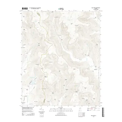
2014 Map of Hollytree
USGS Topo · Published 2014About this map
Hollytree serves as a central point of reference in this landscape defined by deep coves and sinkholes along the Madison and Jackson County line. The terrain is marked by a complex system of drainage and natural depressions, including Calloway Sinks, Keel Sinks, and Jackson Sinks. These geological features influenced local settlement patterns, where family names are preserved across numerous burial sites such as Hollytree Cemetery and Maples Cemetery. The water system is integral to the area's layout, with Dry Creek and Williams Creek carving through the valleys between Bice Mountain and Putman Mountain. Human presence is evidenced by a network of rural routes like Sharps Cove Road, which follow the contours of the land, connecting small landmarks like Sneed Spring and Hurricane Creek Watershed Lake.
Find a feature on this map
88 named features on this map. Tap any name to fly to it.
Don’t see what you’re looking for? This feature index may not catch every label — zoom into the map to look around manually.
Map Details
Editions of this 2014 Hollytree Map
This is the sole edition of this map. No revisions or reprints were ever made.
Other maps of this area
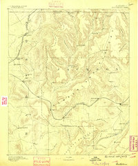
1888 · Scottsboro
USGS Topo · 1:125,000
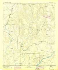
1892 · Scottsboro
USGS Topo · 1:125,000
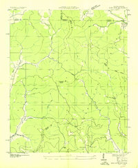
1936 · King Cove
USGS Topo · 1:24,000
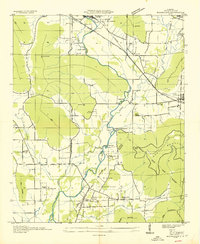
1936 · Moontown
USGS Topo · 1:24,000
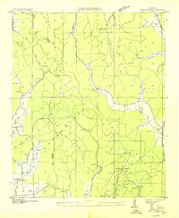
1936 · Hollytree
USGS Topo · 1:24,000
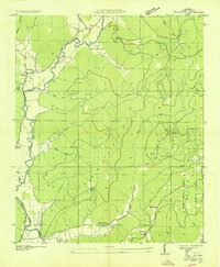
1936 · Princeton
USGS Topo · 1:24,000
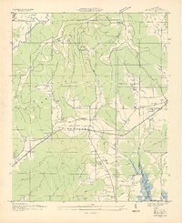
1936 · Lim Rock
USGS Topo · 1:24,000
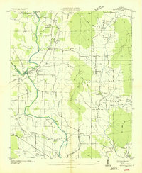
1936 · Maysville
USGS Topo · 1:24,000
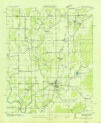
1936 · New Market
USGS Topo · 1:24,000
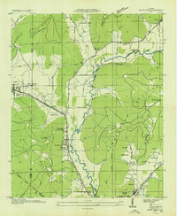
1936 · Paint Rock
USGS Topo · 1:24,000