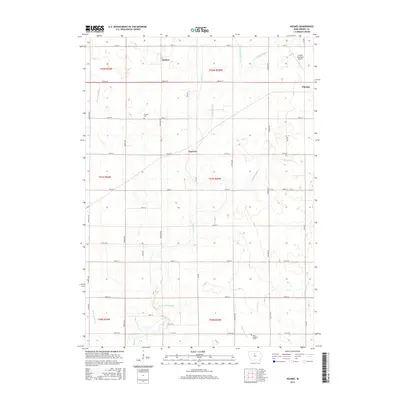
2015 Map of Holmes
USGS Topo · Published 2015About this map
Holmes and the surrounding prairie of Wright County are defined by a complex network of agricultural drainage, showing the intensive land management of the modern era. The landscape is crisscrossed by numeric water features such as Ditch Number 9 and Ditch Number 192, which channel water toward the meandering Eagle Cr and Little Eagle Cr. This drainage system is essential to the local farming economy, turning the low-lying glacial till into productive acreage. For genealogists, the map preserves the location of Holmes Cem and Saint Joseph's Cem, while the inclusion of the Clarion Municipal Airport and the eastern edge of Clarion marks the regional importance of this transport hub. The rectilinear road grid, from Franklin Ave to Lee Ave, illustrates the persistence of the Public Land Survey System in organizing the rural Iowa township.
Find a feature on this map
44 named features on this map. Tap any name to fly to it.
Don’t see what you’re looking for? This feature index may not catch every label — zoom into the map to look around manually.
Map Details
Editions of this 2015 Holmes Map
This is the sole edition of this map. No revisions or reprints were ever made.
Other maps of this area

1954 · Waterloo
USGS Topo · 1:250,000

1955 · Waterloo
USGS Topo · 1:250,000

1972 · Kanawha SE
USGS Topo · 1:24,000

1972 · Cornelia
USGS Topo · 1:24,000

1972 · Renwick
USGS Topo · 1:24,000

1978 · Holmes
USGS Topo · 1:24,000

1978 · Woolstock
USGS Topo · 1:24,000

1978 · Clarion
USGS Topo · 1:24,000

1978 · Eagle Grove SW
USGS Topo · 1:24,000

1978 · Clarion SW
USGS Topo · 1:24,000