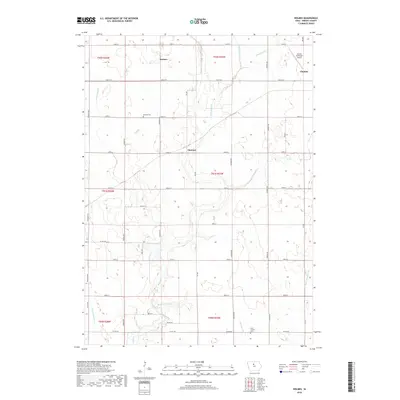
2018 Map of Holmes
USGS Topo · Published 2018About this map
Holmes and Florence sit within a highly structured agricultural landscape defined by a precise section-line road grid and an extensive network of man-made drainage channels. The area's hydrology is characterized by Eagle Cr and Little Eagle Cr, which are augmented by numerous engineered waterways such as Ditch Number 36, Ditch Number 2, and Ditch Number 149. This sophisticated drainage system is typical of the North Central Iowa till plains, where land reclamation was essential for the region's productive grain farming.
Find a feature on this map
42 named features on this map. Tap any name to fly to it.
Don’t see what you’re looking for? This feature index may not catch every label — zoom into the map to look around manually.
Map Details
Editions of this 2018 Holmes Map
This is the sole edition of this map. No revisions or reprints were ever made.
Other maps of this area
1954 · Waterloo
USGS Topo · 1:250,000
1955 · Waterloo
USGS Topo · 1:250,000
1972 · Kanawha SE
USGS Topo · 1:24,000
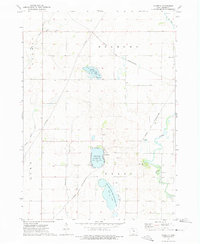
1972 · Cornelia
USGS Topo · 1:24,000
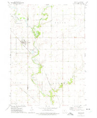
1972 · Renwick
USGS Topo · 1:24,000
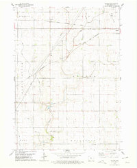
1978 · Holmes
USGS Topo · 1:24,000
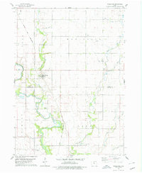
1978 · Woolstock
USGS Topo · 1:24,000
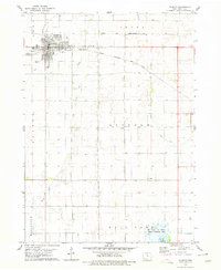
1978 · Clarion
USGS Topo · 1:24,000
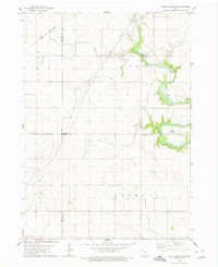
1978 · Eagle Grove SW
USGS Topo · 1:24,000
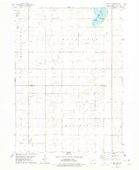
1978 · Clarion SW
USGS Topo · 1:24,000