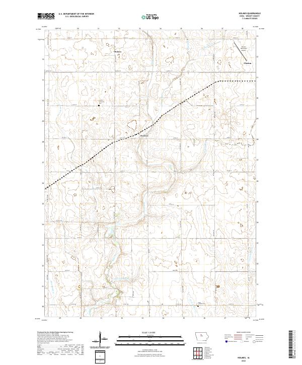
2022 Map of Holmes
USGS Topo · Published 2022This historical map portrays the area of Holmes in 2022, primarily covering Wright County. Featuring a scale of 1:24000, this map provides a highly detailed snapshot of the terrain, roads, buildings, counties, and historical landmarks in the Holmes region at the time. Published in 2022, it is the sole known edition of this map.
Map Details
Editions of this 2022 Holmes Map
This is the sole edition of this map. No revisions or reprints were ever made.
Historical Maps of Holmes Through Time
14 maps found
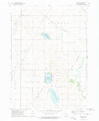
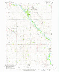
1972 Cornelia
Wright County, IA
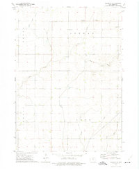
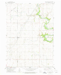
1972 Kanawha SE
Wright County, IA
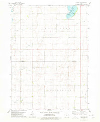
1978 Clarion SW
Wright County, IA
1978 Dows West
Wright County, IA
1978 Eagle Grove SW
Wright County, IA
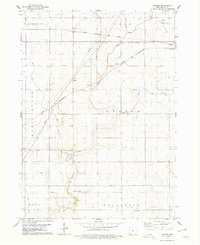
1978 Holmes
Wright County, IA
1978 Sheldon Creek
Wright County, IA
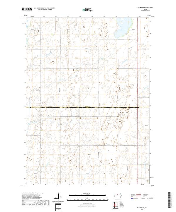
2022 Clarion SW
Wright County, IA
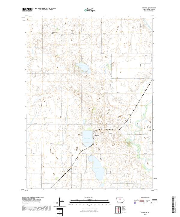
2022 Cornelia
Wright County, IA
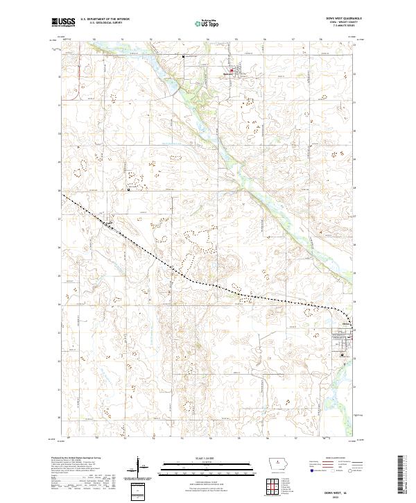
2022 Dows West
Wright County, IA
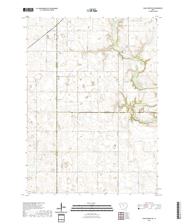
2022 Eagle Grove SW
Wright County, IA
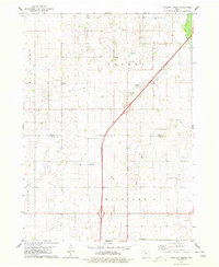
2022 Holmes
Wright County, IA
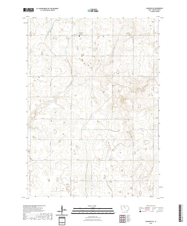
2022 Kanawha SE
Wright County, IA
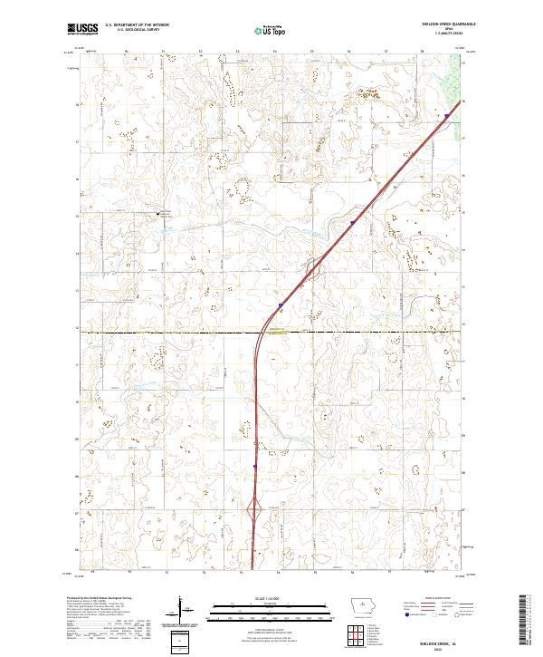
2022 Sheldon Creek
Wright County, IA