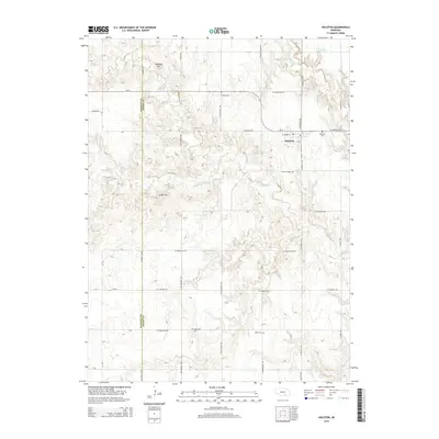
2014 Map of Holstein
USGS Topo · Published 2014About this map
Holstein stands as the primary settlement on this Nebraska landscape, situated just east of the Kearney County and Adams County border. The village is surrounded by a grid of rural roads that reflect the agricultural heritage of the plains, including names like W Homestead Rd and W Pony Express Rd. This 2014 survey captures a quiet geography where local history is preserved in small burial grounds scattered across the countryside, such as W Ward Cem, Morseville Cem, and Logan Cem.
Find a feature on this map
24 named features on this map. Tap any name to fly to it.
Don’t see what you’re looking for? This feature index may not catch every label — zoom into the map to look around manually.
Map Details
Editions of this 2014 Holstein Map
This is the sole edition of this map. No revisions or reprints were ever made.
Other maps of this area

1894 · Kenesaw
USGS Topo · 1:62,500

1894 · Minden
USGS Topo · 1:62,500

1896 · Wood River
USGS Topo · 1:125,000

1897 · Red Cloud
USGS Topo · 1:125,000

1955 · Grand Island
USGS Topo · 1:250,000

1957 · Grand Island
USGS Topo · 1:250,000

1958 · Grand Island
USGS Topo · 1:250,000

1969 · Upland SE
USGS Topo · 1:24,000
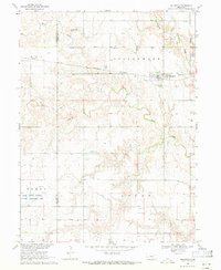
1969 · Holstein
USGS Topo · 1:24,000
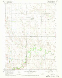
1969 · Roseland
USGS Topo · 1:24,000