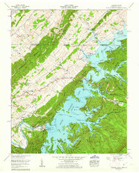
1960 Map of Holston Valley
USGS Topo · Published 1962About this map
The South Fork Holston River is dominated by the reservoir formed behind the South Holston Dam, a massive landscape transformation that reshaped Sullivan County and Washington County at the Tennessee-Virginia border. This 1960 revision shows the inundated valleys of Jacob Creek and Fishdam Creek within the Cherokee National Forest, creating a complex shoreline that contrasts with the old overland routes like Jonesboro Road and the Daniel Boone Trail. Small rural centers such as Cleveland and Emmett persist on the margins of the rising water, while family-named landmarks like Scalf Cemetery and Ketron Cemetery provide critical data for tracing local lineage. Notable recreational and utility sites, including Bristol Caverns and the Bristol Waterworks, illustrate the varied use of this karst and mountain terrain.
Find a feature on this map
70 named features on this map. Tap any name to fly to it.
Don’t see what you’re looking for? This feature index may not catch every label — zoom into the map to look around manually.
Map Details
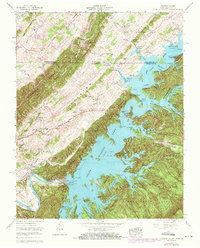
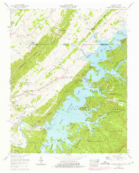
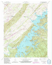
Editions of this 1960 Holston Valley Map
4 editions found
Other maps of this area

1891 · Roan Mountain
USGS Topo · 1:125,000

1891 · Abingdon
USGS Topo · 1:125,000

1893 · Cranberry
USGS Topo · 1:125,000

1894 · Roan Mountain
USGS Topo · 1:125,000

1894 · Abingdon
USGS Topo · 1:125,000

1895 · Cranberry
USGS Topo · 1:125,000

1897 · Bristol
USGS Topo · 1:125,000

1899 · Cranberry
USGS Topo · 1:125,000

1902 · Bristol
USGS Topo · 1:125,000

1902 · Cranberry
USGS Topo · 1:125,000