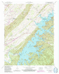
1960 Map of Holston Valley
USGS Topo · Published 1992About this map
South Holston Dam anchors this landscape, holding back the waters of the South Fork Holston River as they wind through the The Knobs. This survey illustrates a mid-century period of recreation and water management, where numerous facilities like the South Holston Boat Dock and Painter Creek Boat Dock have emerged along the complex shoreline. The terrain is deeply wooded, particularly within the Cherokee National Forest and the Cherokee Wildlife Management Area.
Find a feature on this map
103 named features on this map. Tap any name to fly to it.
Don’t see what you’re looking for? This feature index may not catch every label — zoom into the map to look around manually.
Map Details
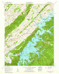
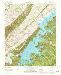
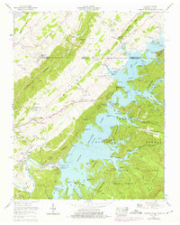
Editions of this 1960 Holston Valley Map
4 editions found
Other maps of this area

1891 · Roan Mountain
USGS Topo · 1:125,000

1891 · Abingdon
USGS Topo · 1:125,000

1893 · Cranberry
USGS Topo · 1:125,000

1894 · Roan Mountain
USGS Topo · 1:125,000

1894 · Abingdon
USGS Topo · 1:125,000

1895 · Cranberry
USGS Topo · 1:125,000

1897 · Bristol
USGS Topo · 1:125,000

1899 · Cranberry
USGS Topo · 1:125,000

1902 · Bristol
USGS Topo · 1:125,000

1902 · Cranberry
USGS Topo · 1:125,000