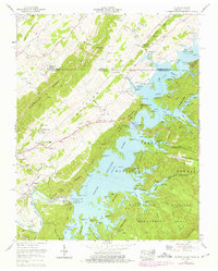
1960 Map of Holston Valley
USGS Topo · Published 1975About this map
The South Holston Dam anchors this landscape, controlling the waters of the South Fork Holston River to create the expansive South Holston Lake. The map captures the interface of engineering and community life along the Virginia Tennessee state line, where the residential sprawl of Goose Pimple Junction meets the rugged topography of the Jefferson National Forest. This era shows a well-established infrastructure of civic and religious life, from the Holston Valley Sch to numerous rural sanctuaries like High Point Ch and Sinking Spring Ch.
Find a feature on this map
41 named features on this map. Tap any name to fly to it.
Don’t see what you’re looking for? This feature index may not catch every label — zoom into the map to look around manually.
Map Details
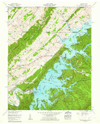
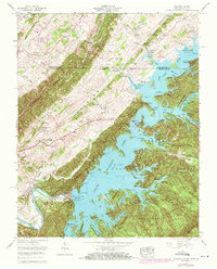
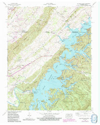
Editions of this 1960 Holston Valley Map
4 editions found
Other maps of this area

1891 · Roan Mountain
USGS Topo · 1:125,000

1891 · Abingdon
USGS Topo · 1:125,000

1893 · Cranberry
USGS Topo · 1:125,000

1894 · Roan Mountain
USGS Topo · 1:125,000

1894 · Abingdon
USGS Topo · 1:125,000

1895 · Cranberry
USGS Topo · 1:125,000

1897 · Bristol
USGS Topo · 1:125,000

1899 · Cranberry
USGS Topo · 1:125,000

1902 · Bristol
USGS Topo · 1:125,000

1902 · Cranberry
USGS Topo · 1:125,000