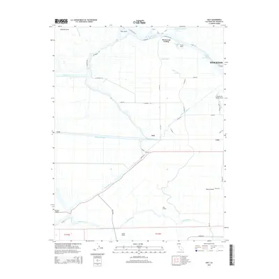
2015 Map of Holt
USGS Topo · Published 2015About this map
Mokelumne Aqueduct bisects the heart of the California Delta, illustrating the complex water management infrastructure essential to this region. This survey captures a landscape defined by its intricate network of sloughs and cuts, where land and water are inextricably linked. Notable crossings and landings like Blackslough Landing and Holt serve as focal points for the agricultural and transport economy. The map details the transition from the industrial fringes of Stockton to the expansive, low-lying tracts of McDonald Island and Roberts Island. To the west, the Stockton Deep Water Channel and Empire Cut demonstrate the engineered waterways that support regional commerce, while the southern reaches near Victoria Island and Union Island highlight the importance of the Middle River and Trapper Slough in defining property boundaries and local navigation.
Find a feature on this map
50 named features on this map. Tap any name to fly to it.
Don’t see what you’re looking for? This feature index may not catch every label — zoom into the map to look around manually.
Map Details
Editions of this 2015 Holt Map
This is the sole edition of this map. No revisions or reprints were ever made.
Other maps of this area
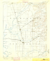
1894 · Lodi
USGS Topo · 1:125,000
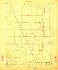
1910 · Castle
USGS Topo · 1:31,680
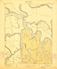
1910 · Bouldin
USGS Topo · 1:31,680
1910 · Headreach
USGS Topo · 1:31,680
1913 · Woodward Island
USGS Topo · 1:31,680
1913 · Stockton
USGS Topo · 1:31,680
1913 · Holt
USGS Topo · 1:31,680
1914 · Bethany
USGS Topo · 1:31,680
1914 · Union Island
USGS Topo · 1:31,680
1915 · Lathrop
USGS Topo · 1:31,680