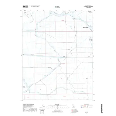
2018 Map of Holt
USGS Topo · Published 2018About this map
The delta landscape west of Stockton is defined by an intricate network of sloughs, cuts, and engineered waterways that carve the terrain into distinct islands. This 2018 survey illustrates a region where the natural flow of the San Joaquin River and Middle River meets industrial and agricultural utility. The most striking human intervention is the massive Mokelumne Aqueduct, which bisects the map horizontally, passing through the settlement of Holt. To the north, the Stockton Deep Water Channel serves as a vital maritime artery, skirting Rough and Ready Island and Vulcan Island as it approaches the city limits.
Find a feature on this map
61 named features on this map. Tap any name to fly to it.
Don’t see what you’re looking for? This feature index may not catch every label — zoom into the map to look around manually.
Map Details
Editions of this 2018 Holt Map
This is the sole edition of this map. No revisions or reprints were ever made.
Other maps of this area
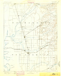
1894 · Lodi
USGS Topo · 1:125,000
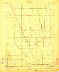
1910 · Castle
USGS Topo · 1:31,680
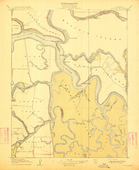
1910 · Bouldin
USGS Topo · 1:31,680
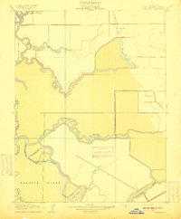
1910 · Headreach
USGS Topo · 1:31,680
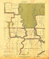
1913 · Woodward Island
USGS Topo · 1:31,680
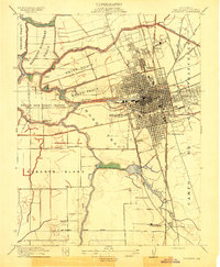
1913 · Stockton
USGS Topo · 1:31,680
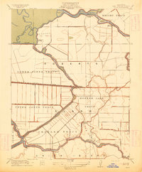
1913 · Holt
USGS Topo · 1:31,680
1914 · Bethany
USGS Topo · 1:31,680
1914 · Union Island
USGS Topo · 1:31,680
1915 · Lathrop
USGS Topo · 1:31,680