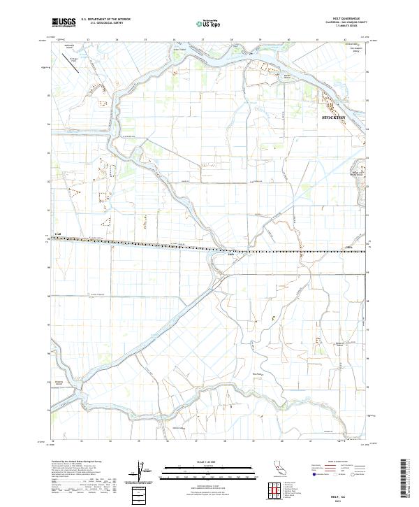
2021 Map of Holt
USGS Topo · Published 2021About this map
Holt and the surrounding reclaimed delta lands are defined by a complex network of waterways and levee-protected islands. Located west of Stockton, this region shows the agricultural and logistical infrastructure essential to the San Joaquin Valley. The massive Mokelumne Aqueduct traverses the landscape, cutting through fields between the San Joaquin River and the Middle River. This survey captures the intricate topography of the California Delta, where islands like Roberts Island, Union Island, and Victoria Island are separated by sluggish sloughs and engineered cuts. The northern reaches feature McDonald Island and Acker Island, while the eastern edge reveals the industrial and maritime expansion of Stockton near Rough and Ready Island. The landscape is a mosaic of geometric farm plots accessed by rural routes such as W Lower Jones Rd and S Tracy Blvd.
Find a feature on this map
60 named features on this map. Tap any name to fly to it.
Don’t see what you’re looking for? This feature index may not catch every label — zoom into the map to look around manually.
Map Details
Editions of this 2021 Holt Map
This is the sole edition of this map. No revisions or reprints were ever made.
Other maps of this area

1894 · Lodi
USGS Topo · 1:125,000

1910 · Castle
USGS Topo · 1:31,680

1910 · Bouldin
USGS Topo · 1:31,680

1910 · Headreach
USGS Topo · 1:31,680

1913 · Woodward Island
USGS Topo · 1:31,680

1913 · Stockton
USGS Topo · 1:31,680

1913 · Holt
USGS Topo · 1:31,680

1914 · Bethany
USGS Topo · 1:31,680

1914 · Union Island
USGS Topo · 1:31,680

1915 · Lathrop
USGS Topo · 1:31,680