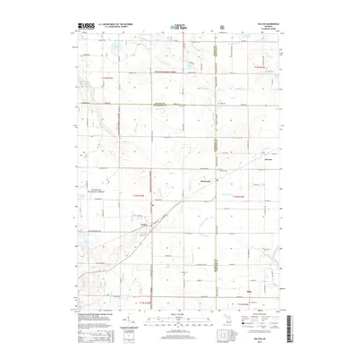
2014 Map of Holton
USGS Topo · Published 2014About this map
Holton serves as a central hub for this portion of West Michigan, situated near the intersection of Holton Rd and Holton Duck Lake Rd. The landscape is a patchwork of agricultural clearings and dense woodlands within the Manistee National Forest, defined by a sophisticated network of drainage systems such as Markle Drain, Folsom Drain, and Robinson Drain. These waterways, along with numerous small lakes like Olson Lake and Acker Lake, illustrate the post-glacial topography and high water table of the region.
Find a feature on this map
91 named features on this map. Tap any name to fly to it.
Don’t see what you’re looking for? This feature index may not catch every label — zoom into the map to look around manually.
Map Details
Editions of this 2014 Holton Map
This is the sole edition of this map. No revisions or reprints were ever made.
Other maps of this area

1931 · Walkerville SW
USGS Topo · 1:31,680

1931 · Walkerville SE
USGS Topo · 1:31,680

1954 · Milwaukee
USGS Topo · 1:250,000

1954 · Midland
USGS Topo · 1:250,000

1958 · Midland
USGS Topo · 1:250,000

1958 · Milwaukee
USGS Topo · 1:250,000

1958 · Hesperia
USGS Topo · 1:62,500

1958 · Twin Lake
USGS Topo · 1:62,500

1958 · Fremont
USGS Topo · 1:62,500

1959 · Midland
USGS Topo · 1:250,000