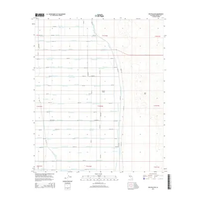
2015 Map of Holtville NE
USGS Topo · Published 2015About this map
The Imperial Valley meets the high desert of the East Mesa in this detailed look at California's low desert agricultural infrastructure. The landscape is defined by a rigid, engineered grid of irrigation channels and access roads that facilitate intensive farming. Dozens of named waterways, such as the Holtville Six Drain, Moss Drain, and Oxalis Drain, crisscross the valley floor, highlighting the intricate plumbing required to transform this arid basin into a productive agricultural zone.
Find a feature on this map
73 named features on this map. Tap any name to fly to it.
Don’t see what you’re looking for? This feature index may not catch every label — zoom into the map to look around manually.
Map Details
Editions of this 2015 Holtville NE Map
This is the sole edition of this map. No revisions or reprints were ever made.
Other maps of this area
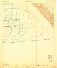
1907 · Holtville
USGS Topo · 1:125,000
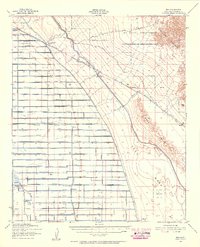
1940 · Iris
USGS Topo · 1:62,500
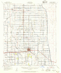
1940 · Alamorio
USGS Topo · 1:62,500
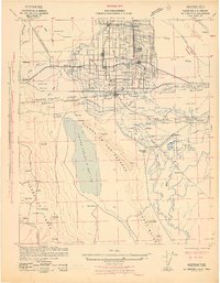
1942 · El Centro
USGS Topo · 1:250,000
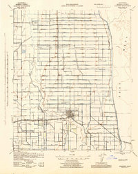
1945 · Alamorio
USGS Topo · 1:62,500
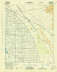
1945 · Iris
USGS Topo · 1:62,500
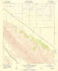
1953 · Acolita
USGS Topo · 1:24,000
1953 · Acolita
USGS Topo · 1:62,500
1954 · El Centro
USGS Topo · 1:250,000

1954 · Salton Sea
USGS Topo · 1:250,000