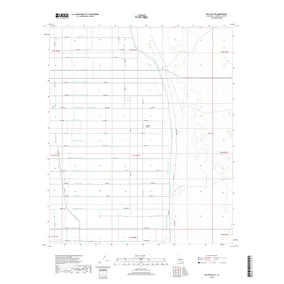
2018 Map of Holtville NE
USGS Topo · Published 2018About this map
The sharp division between agricultural development and desert terrain defines this portion of the Imperial Valley during the late 2010s. The landscape is dominated by a rigorous grid of irrigation and drainage infrastructure, with primary arteries like the East Highline Canal and the Holtville-Main-Drain facilitating intensive farming. To the east, the irrigation grid terminates abruptly at the East Mesa, where the reclaimed fields give way to the natural desert environment. This transition represents the edge of human intervention in the desert, where a complex network of laterals and drains, including the Orchid Lateral and Oxalis-Drain, allows for cultivation in an otherwise arid climate. Family-named roads such as Taecker Rd, Silliman Rd, and Griffin Rd segment the valley into precise agricultural blocks, while secondary routes like Co Hwy S33 and Keystone Rd connect the rural infrastructure.
Find a feature on this map
82 named features on this map. Tap any name to fly to it.
Don’t see what you’re looking for? This feature index may not catch every label — zoom into the map to look around manually.
Map Details
Editions of this 2018 Holtville NE Map
This is the sole edition of this map. No revisions or reprints were ever made.
Other maps of this area
1907 · Holtville
USGS Topo · 1:125,000
1940 · Iris
USGS Topo · 1:62,500
1940 · Alamorio
USGS Topo · 1:62,500
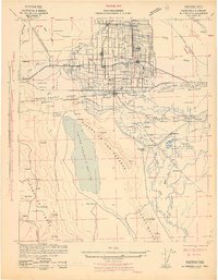
1942 · El Centro
USGS Topo · 1:250,000
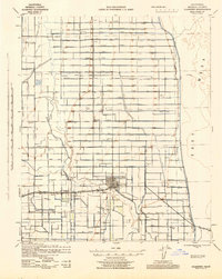
1945 · Alamorio
USGS Topo · 1:62,500
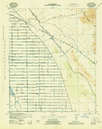
1945 · Iris
USGS Topo · 1:62,500
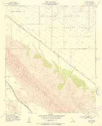
1953 · Acolita
USGS Topo · 1:24,000
1953 · Acolita
USGS Topo · 1:62,500
1954 · El Centro
USGS Topo · 1:250,000

1954 · Salton Sea
USGS Topo · 1:250,000