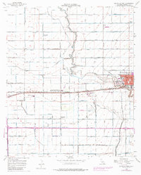
1956 Map of Holtville West
USGS Topo · Published 1979About this map
The Alamo River snakes through this Imperial Valley landscape, which is defined by an intricate network of irrigation infrastructure essential to desert agriculture. This 1956 survey shows the area during a period of significant agricultural expansion, characterized by a grid of named canals and drains such as Acacia Lateral 10 and Ash Lateral 15. The settlement of Holtville serves as the local hub, with its urban expansion in the 1970s noted in purple revisions. Nearby, the University of California Imperial Valley Field Station at Meloland highlights the region's role as a center for desert farming research.
Find a feature on this map
100 named features on this map. Tap any name to fly to it.
Don’t see what you’re looking for? This feature index may not catch every label — zoom into the map to look around manually.
Map Details
Editions of this 1956 Holtville West Map
4 editions found
Other maps of this area

1907 · Holtville
USGS Topo · 1:125,000

1915 · El Centro
USGS Topo · 1:125,000

1940 · Brawley
USGS Topo · 1:62,500

1940 · Heber
USGS Topo · 1:62,500

1940 · Alamorio
USGS Topo · 1:62,500

1940 · Calexico
USGS Topo · 1:62,500

1942 · El Centro
USGS Topo · 1:250,000

1943 · Heber
USGS Topo · 1:62,500

1943 · Brawley
USGS Topo · 1:62,500

1943 · Calexico
USGS Topo · 1:62,500