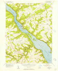
1955 Map of Holtwood
USGS Topo · Published 1956About this map
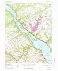
The Holtwood Dam stands as the central engineering feat of this riverine landscape, where the Susquehanna River is partitioned into the Holtwood Reservoir and the Conowingo Reservoir. This mid-century survey reveals a transition between industrial energy production at the Power Plant and the rural agricultural life of Lancaster and York Counties. Scattered along the hills are legacy sites such as Erbs Mill and Coyne Lock, providing evidence of earlier generations who relied on the river's power and navigation before the modern hydroelectric era.
Find a feature on this map
76 named features on this map. Tap any name to fly to it.
Don’t see what you’re looking for? This feature index may not catch every label — zoom into the map to look around manually.
Map Details
Editions of this 1955 Holtwood Map
6 editions found
Other maps of this area

1900 · Havre De Grace
USGS Topo · 1:62,500

1901 · Belair
USGS Topo · 1:62,500

1912 · Quarryville
USGS Topo · 1:62,500

1912 · Mc Calls Ferry
USGS Topo · 1:62,500

1942 · Havre De Grace
USGS Topo · 1:62,500

1942 · Bel Air
USGS Topo · 1:62,500

1943 · Quarryville
USGS Topo · 1:62,500

1943 · Mc Calls Ferry
USGS Topo · 1:62,500

1945 · Bel Air
USGS Topo · 1:62,500

1948 · Baltimore
USGS Topo · 1:250,000
Featured Places
- Drumore Township, PA
- Martic Township, PA
- Lower Chanceford Township, PA
- Peach Bottom Township, PA
- Bethesda, Martic Township