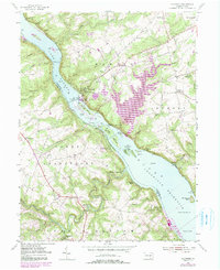
1955 Map of Holtwood
USGS Topo · Published 1990About this map
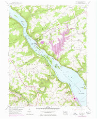
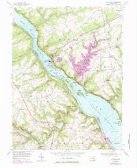
The Susquehanna River Conowingo Reservoir and Lake Aldred dominate this mid-century landscape, split by the Holtwood Dam. The map reveals a region defined by hydroelectric power and river-dependent transport, with the massive powerplant and various islands like Bear Island (Upper) and Mt Johnson Island punctuating the waterway. On the eastern shore, the Penn Central line follows the riverbank past Midway Sta, while the western side features more rugged terrain carved by Muddy Creek.
Find a feature on this map
76 named features on this map. Tap any name to fly to it.
Don’t see what you’re looking for? This feature index may not catch every label — zoom into the map to look around manually.
Map Details
Editions of this 1955 Holtwood Map
6 editions found
Other maps of this area

1900 · Havre De Grace
USGS Topo · 1:62,500

1901 · Belair
USGS Topo · 1:62,500

1912 · Quarryville
USGS Topo · 1:62,500

1912 · Mc Calls Ferry
USGS Topo · 1:62,500

1942 · Havre De Grace
USGS Topo · 1:62,500

1942 · Bel Air
USGS Topo · 1:62,500

1943 · Quarryville
USGS Topo · 1:62,500

1943 · Mc Calls Ferry
USGS Topo · 1:62,500

1945 · Bel Air
USGS Topo · 1:62,500

1948 · Baltimore
USGS Topo · 1:250,000
Featured Places
- Drumore Township, PA
- Martic Township, PA
- Lower Chanceford Township, PA
- Peach Bottom Township, PA
- Bethesda, Martic Township