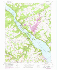
1955 Map of Holtwood
USGS Topo · Published 1977About this map
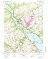
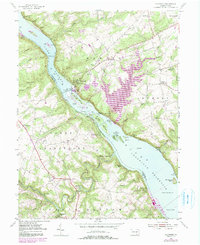
The Susquehanna River Conowingo Reservoir and Lake Aldred dominate this landscape, illustrating the mid-century industrial transformation of the river valley. The massive Holtwood Dam and its adjacent Power Plant represent a pivot point in the region's energy infrastructure, while remnants of an earlier era like Coyne Lock and an abandoned rail line hint at the previous canal-and-river economy. On the eastern banks in Martic and Drumore townships, small rural settlements like Bethesda and Liberty Square persist alongside historic sites such as Erbs Mill and Drumore Cem. Across the water in York County, the map captures the steep drainages of Oakland Run and Wallace Run, where the rugged topography forced a dispersed settlement pattern centered around crossroads like Sunnyburn and country landmarks such as Salem Ch.
Find a feature on this map
72 named features on this map. Tap any name to fly to it.
Don’t see what you’re looking for? This feature index may not catch every label — zoom into the map to look around manually.
Map Details
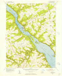
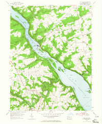
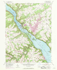
Editions of this 1955 Holtwood Map
6 editions found
Other maps of this area

1900 · Havre De Grace
USGS Topo · 1:62,500

1901 · Belair
USGS Topo · 1:62,500

1912 · Quarryville
USGS Topo · 1:62,500

1912 · Mc Calls Ferry
USGS Topo · 1:62,500

1942 · Havre De Grace
USGS Topo · 1:62,500

1942 · Bel Air
USGS Topo · 1:62,500

1943 · Quarryville
USGS Topo · 1:62,500

1943 · Mc Calls Ferry
USGS Topo · 1:62,500

1945 · Bel Air
USGS Topo · 1:62,500

1948 · Baltimore
USGS Topo · 1:250,000
Featured Places
- Drumore Township, PA
- Martic Township, PA
- Lower Chanceford Township, PA
- Peach Bottom Township, PA
- Bethesda, Martic Township